Reitti
Self-hosted location tracking and analysis with automatic visit detection, trip classification, Immich integration, and multi-user timeline support.
Open source alternative to:
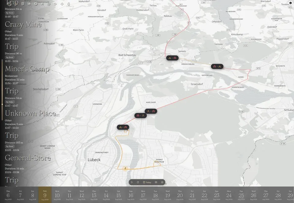
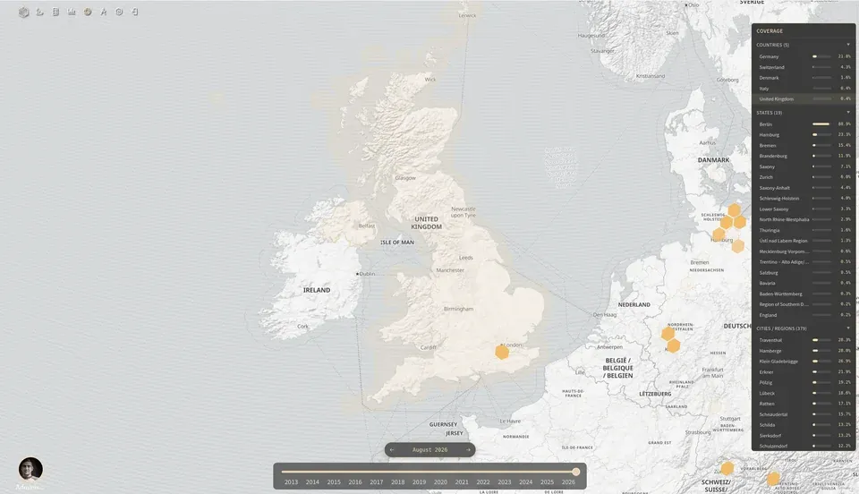
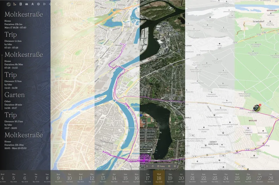
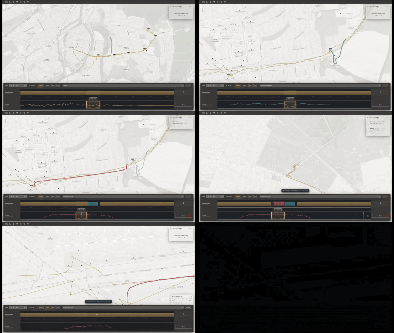
Reitti is a comprehensive self-hosted location tracking and analysis application named after the Finnish word for "route" or "path". It transforms incoming GPS data from OwnTracks, GPSLogger, Overland, and Home Assistant into a personal timeline of visits, trips, and significant places, while also accepting bulk imports from Google Takeout, GPX, and GeoJSON files.
The platform automatically detects stays and the trips between them, classifies transport modes (walking, cycling, driving), and visualizes everything on an interactive map with a daily timeline. A built-in Immich integration places photos taken at each location directly on the timeline, and a multi-user view lets families or small groups share a single map. Reverse geocoding can be configured against multiple providers with automatic failover, and the app supports custom tile servers for full mapping control.
Reitti ships as a Spring Boot application with a Docker Compose bundle (PostgreSQL+PostGIS, Redis, and the app), and supports OIDC/SSO alongside local login. The interface is available in English, Finnish, German, and French, and the application handles large imports via an asynchronous job queue. It is licensed under AGPL-3.0 and runs entirely on user-controlled infrastructure with no telemetry or third-party tracking.
Categories:
Build with:



Frequently Asked Questions
Which apps and data sources can feed location data into Reitti?
Reitti accepts live GPS data from OwnTracks, GPSLogger, Overland, and Home Assistant, so you can keep using the tracker you already run. It also imports historical data in bulk from Google Takeout, GPX, and GeoJSON files, handling large imports through an asynchronous job queue. That makes it a practical home for people leaving Google Location History.
What does Reitti do with my location history?
It automatically detects the stays and trips in your GPS data and classifies transport modes such as walking, cycling, and driving, then visualises everything on an interactive map with a daily timeline. A built-in Immich integration places photos taken at each location directly on the timeline. Reverse geocoding can be configured against multiple providers with automatic failover, and custom tile servers are supported.
What do I need to run Reitti, and who can use one instance?
Reitti ships as a Spring Boot application with an official Docker Compose bundle containing PostgreSQL+PostGIS, Redis, and the app itself, and it supports OIDC/SSO as well as local login. A multi-user view lets families or small groups share a single map. Because it runs entirely on your own infrastructure under AGPL-3.0, there is no telemetry or third-party tracking.
Looking for contributors
This project is actively seeking help, join the community!
OpenAltFinder Score
Project Details
Repository details
Updated 9/30/2026, 12:00:25 PM
View RepositoryRepository activity
Sponsor Reitti
Compare Reitti with
Similar open source alternatives

Dawarich
Self-hostable alternative to Google Maps Timeline for tracking and visualizing your location history.
 Google Maps Timeline
GeoPulse
Self-hosted, privacy-first location timeline platform that turns raw GPS data into a searchable history of stays, trips, and movement patterns.
Google Maps Timeline